Winter Storm Watch in Effect Tonight Through Saturday
The National Weather Service has issued a Winter Storm Watch for North Central Washington beginning late tonight.
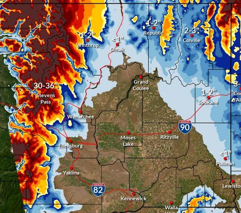
They are saying that there could be between 3-5 inches of snow, coming down heavily at times, in the overnight hours and into tomorrow.
There is expected to be more snow in the higher elevations, particularly if you're closer to the mountains.
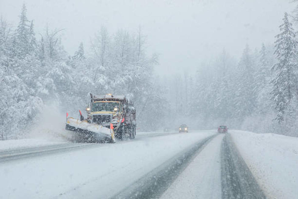
Travel conditions could be difficult tomorrow throughout the area.
Here's the full breakdown from NWS:
Another Winter storm System Friday Night and Saturday
The Next Winter storm System will Spread Light Snow over the Area
Beginning tonight. Snow will Intensify Saturday Morning Before
Tapering Off in the Late Afternoon. Heavy Snow Accumulations Are
Possible in the Cascades and Adjacent Columbia Basin Areas As Well
As the Okanogan Highlands.
* What, Heavy Snow Possible. total Snow Accumulations of 3 to 5
Inches Possible.
* Where, Wenatchee, Chelan, Entiat, Cashmere, Number 1 Canyon,
Number 2 Canyon, Pangborn Airport, Omak, Okanogan, Brewster,
Bridgeport, Oroville, Nespelem, Disautel Pass, Waterville,
Mansfield, and Badger Mountain Road.
* When, from Late tonight Through Saturday Afternoon.
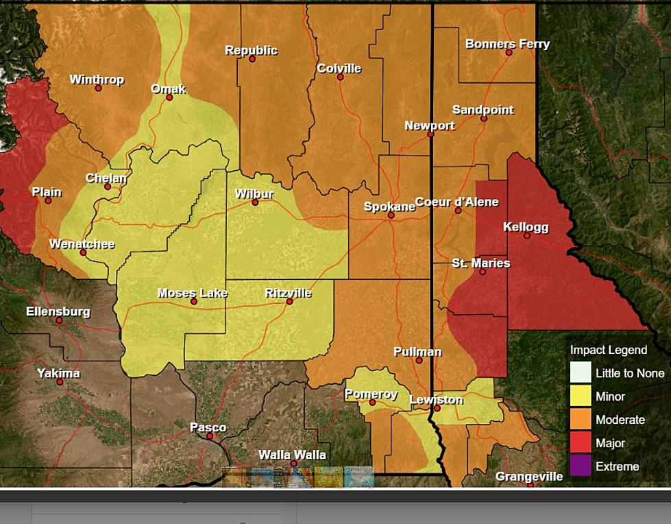
* Impacts, Travel Could be very Difficult.
Monitor the Latest Forecasts for Updates on this Situation.
More From NewsRadio 560 KPQ