
Cold Snap, Wind Coming To NCW: Single Digit, Sub Zero Temps
It's about to get extremely cold in Wenatchee and across areas east of the Cascades.
National Weather Service Meteorologist Todd Chambers says the most recent round of snow will be followed by a system moving south from Canada.
'We're looking at additional storms that are going to help enhance or drag down an arctic front from Canada." said Chambers. "So, it's going to be very cold air. It's also going to bring a little more snow before the coldest air comes in."
Snow accumulations won't be heavy outside of the mountain passes.
Chambers says the north and northeast winds will enhance snowfall at Mission Ridge.
He says the wind will hit the region late Thursday.
"At the end of Thursday night, the arctic boundary will push through eastern Washington and bring very cold air and windy conditions," Chamber said.
Winds will be especially gusty on the Waterville Plateau and the Okanogan Valley. There's currently a wind chill watch tonight through noon Saturday in Waterville.
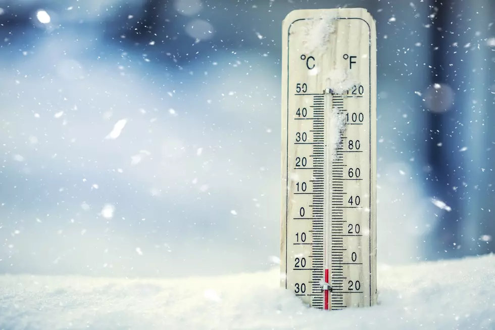
Temperatures will plummet quickly once the cold snap hits..
The forecast calls for single digit or negative zero temperatures in Wenatchee from Thursday night through Saturday night.
Friday night’s temperature will drop to minus 2 in Wenatchee, while it’ll dip to minus 8 at the same time in Waterville.
Some parts of eastern Washington will drop to minus 10 to minus 15 overnight during the cold snap.
The extreme cold will start to ease up by Sunday. Temperatures in Wenatchee will hover in the mid-teens Sunday and Monday (M.L.King Day). The area will see temperatures in the upper 20’s by Wednesday.
The Top 5 Winter Waterfalls Worth Seeing in Oregon and Washington State
Gallery Credit: Rik Mikals
More From NewsRadio 560 KPQ


