Nearing Storm Could Batter Passes, Bring Snow to Valley
The weather outlook heading into the weekend seems to call for more than just a couple of snow flakes.
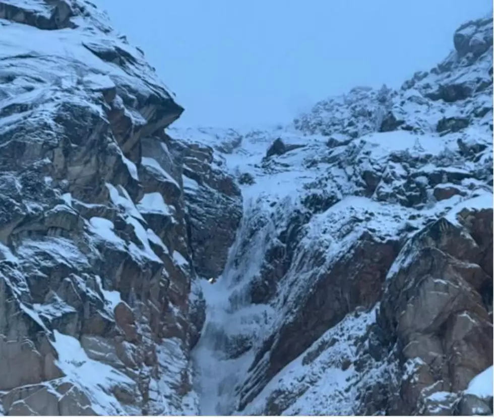
National Weather Service Meteorologist Steven Van Horn said storms could bring precipitation into the area, resulting in snow accumulations even in the valleys as early as Thursday.
"The main impacts are going to be over the passes. The heavier snow for Friday and Saturday will be mostly at the higher elevations." explained Van Horn, "So travelers going over the passes should anticipate seeing the potential for snow starting basically Thursday night, becoming quite heavy as you go into Friday night and into Saturday."
Wind gusts exceeding 50 miles per hour could also accompany the storm, although it's currently unclear which region of Washington will be most affected.
Van Horn added that storms like this aren't unusual for this time of year, but it is a bit early for it to be bringing heavy snowfall. This winter is expected to be slightly colder this year with a higher chance of precipitation due to the La Niña weather event.
More From NewsRadio 560 KPQ