Sinlahekin Fire Prompts New Level 3 Evacuations For Loomis, Tonasket Areas
UPDATE: Wednesday 3PM
State fire assistance has been mobilized with six wildland strike teams in support of local firefighters working to contain the Sinlahekin fire located in Okanogan County, near Loomis. Washington State Patrol Chief John Batiste authorized the state firefighting resources on Wednesday at the request of Fire Chief Andy Gasho, Okanogan Fire District 4; Fire Chief Daryl Peely, Okanogan Fire District 10; and Fire Chief Jake Cunningham, Okanogan Fire District 9.
The Sinlahekin Fire started Sunday and is estimated at 9,000 acres with zero containment
It is burning in brush, trees, and grass, and is threatening homes, infrastructure, and neighboring fire districts about 12 miles west of Tonasket
ORIGINAL POST
A wildfire in North Central Okanogan County continues to grow, as dozens of nearby residents are now being urged to flee.
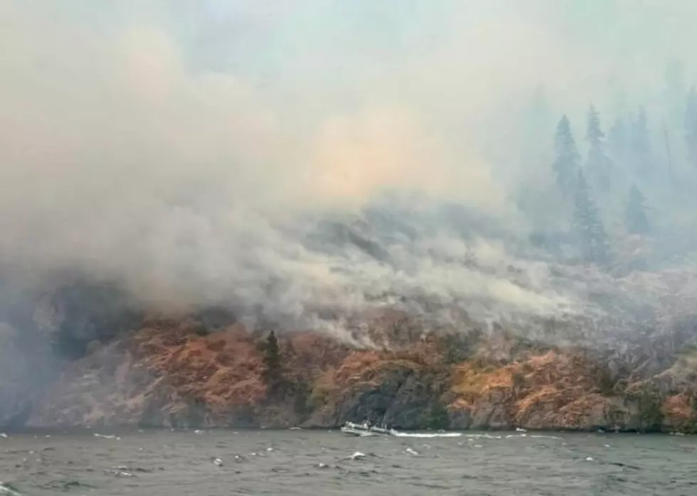
The Sinlahekin Fire is suspected to have sparked from a lightning strike on Sunday (July 26) and has quickly spread since then to a current estimated size of 8,554 acres with no official containment.
The blaze is located along the southwestern edge of Douglas Mountain in the Sinlahekin Valley about 12 miles west of Tonasket, where it's burning in dry grass and timber.
A Level 3 Evacuation Notice has been issued for residents on Cecile Creek Road near Loomis and Lemansky Road on the western outskirts of Tonasket, while a Level 2 notice remains in effect for homes on North Lemansky and Toby Mills Roads, and a Level 1 Fire Advisory persists for Gold Hill and Toats Coulee Roads.
In addition, Sinlahekin Road is still closed between Fish Lake Road and Connors Lake Access Road due to fire activity.
A Northeast Washington Type 3 Incident Management Team is currently in charge of firefighting operations with a total of 183 personnel assigned.
Crews are working to build and improve containment lines, but erratic terrain, rolling boulders, and falling snags (dead trees that are still loosely rooted in the ground) have made their efforts challenging.
Fire managers say the flames will likely continue to spread in the days ahead, as windier weather arrives to the fire zone, which could also hinder the use of aerial suppression measures, including water and retardant drops.
On Tuesday (July 28), the fire continued moving primarily to the southwest, where steep, rocky ledges and talus have prevented it from any direct engagement by firefighters.
Smoke impacts from the fire have been felt in several nearby communities, including Ellisforde, Loomis, Molson, Oroville, and Tonasket, as well as portions of the Aeneas Valley.
Thus far, no structures are known to have been damaged or destroyed and no injuries reported.
8 Ways to Clear & Keep Wildfire Smoke from Your Home
Gallery Credit: AJ Brewster
More From NewsRadio 560 KPQ