
How Chelan, Douglas & Grant Counties Were Created
How Chelan, Douglas & Grant Counties Were Created
Here is a timeline showing how Chelan, Douglas & Grant Counties were created.
Until 1846, any land west of the Columbia River was disputed with Great Britain.
The Oregon Treaty is a treaty between the UK and the US that was signed on June 15, 1846. This ended the Oregon boundary dispute. The area had been jointly occupied by both Britain and the U.S. since the Treaty of 1818. - David Pletcher from “The Diplomacy of Annexation: Texas, Oregon, and the Mexican War.”
After the 1846 treaty was signed, the land now known as Chelan County became Yakima County in the newly named “Oregon Territory.”
1849 - Yakima County is renamed Clark County.
1853 - Washington Territory is created.
1854 - Clark County became Walla Walla County with a boundary that included all land east of the Cascade Mountains.
1858 - Land in modern-day Douglas County and all points east become Shoshone County. Walla Walla County (including modern-day Chelan County) still exists in lands north and south of the Columbia River to the Cascade Mountain range.
1860 - Shoshone County (including modern-day Dougland County, renamed Spokane County.)
1863 - Lots of changes occur. Idaho Territory takes shape, with the Oregon Territory’s eastern border being the modern-day Washington/Idaho border. The Wenatchee Valley (west of the Columbia) becomes Ferguson County. From Entiat to the north and west of the Columbia River, it is redrawn as Stevens County - which extends into modern-day Okanogan County.
1864 - Spokane County is eliminated. Most of Eastern Washington is now Stevens County.
1865 - Ferguson County is renamed Yakima County.
1867—The first trading post was established in modern-day Rock Island, conducting business with area Indian tribes.
1879 - Modern-day Douglas County is once again Spokane County.
1883 - Busy year. The Wenatchee Valley (west of the Columbia) becomes Kittitas County (with borders that look much like modern Kittitas County…, including Malaga and Wenatchee. Douglas County was created…with borders of modern-day Douglas and Grant Counties combined. Stevens County still covers Entiat, Lake Chelan, and all of the modern-day Okanogan, Ferry, and Stevens County to the Idaho Border.
The Entiat Valley was difficult to reach and did not see permanent non-Native settlement until the late 1880s. -Historylink.org
1888—Okanogan County was created, splitting Stevens County in half. Entiat and Lake Chelan are now Okanogan County. It has an eastern border, much like its modern-day borders.
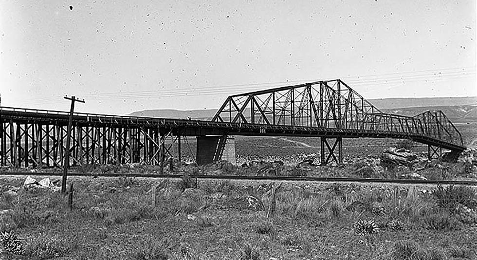
CREDIT: UW Special Collections
1889 - Washington officially becomes the 42nd state on November 11th, 1889.
1892—The Great Northern Railway builds a train depot one mile south of Wenatchee. In the 1890s, boxes of delicious Wenatchee Valley apples make their way to Seattle.
1899 - Chelan County was created. By the late 1890s, Wenatchee was booming. The Kittitas County seat of Ellensburg is separated from the Wenatchee Valley by Colockum Pass. Business owners didn't have easy access, especially in the Winter Months. The state legislature thankfully created Chelan County from the existing Kittitas and Okanogan Counties.
1909 - Grant County was created to divide Douglas County into half.
INFO: Washington State Archives
The 5 Most Beautiful Washington State Towns to Visit in Fall 2024
Gallery Credit: Rik Mikals
Guide: Top 5 Counties With The Most Farmland In Washington State
Gallery Credit: Rik Mikals
More From NewsRadio 560 KPQ


