Heavy Snow and High Winds Could Bury Cascade Passes This Week
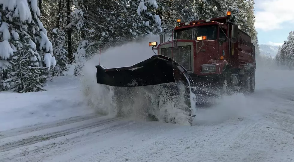
Drivers crossing the Cascades should be prepared for winter travel conditions much of this week, with periods of heavy snow expected through Friday.
Forecasters say snow will continue to fall across the mountain passes, including Stevens Pass and Snoqualmie Pass, with several feet of accumulation possible by the end of the week.
Travel conditions are expected to worsen Wednesday evening into Thursday, when strong winds could develop across parts of the state, especially along the east slopes of the Cascades.

Snow increased Monday night near Stevens Pass, where several inches had already fallen by Tuesday morning. Snow began increasing Monday night near Stevens Pass, where several inches had already fallen by Tuesday morning, with additional snowfall expected throughout the day.
The heaviest snowfall is expected from Tuesday night through Friday as storms continue to move through the region. Snow is likely to taper off somewhat heading into the weekend, though additional accumulation in the mountains is still possible.
Drivers planning to cross the Cascades are encouraged to check pass conditions and be prepared for winter driving.
A High Wind Warning for NCW is in effect Wednesday 8 pm to 11 am Thursday morning. SW winds 25 to 40 mph with gusts 50 to 65 mph possible.


More From NewsRadio 560 KPQ